
- Linking a storytelling geospatial platform to archives
- Connecting the archives of multiple institutions
- Encouraging the mash up of interdisciplinary layers
- Synthesizing multiple types of data
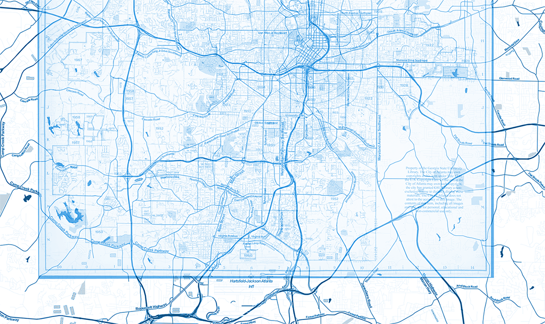
The ATLmaps platform, a collaboration between Georgia State University and Emory University, combines archival maps, geospatial data visualization, and user contributed multimedia location pinpoints to promote investigation into any number of issues about Atlanta. While currently focused on one city to demonstrate the power of stacking thousands of layers of information on one place, this innovative online platform will eventually allow users to layer an increasing number of interdisciplinary data to address the complex issues that any city poses. The project looks to offer a framework that incorporates storytelling reliant on geospatial data and for normalizing input across a range of data sets about so that material can be cross-compared in novel ways, allowing users to make connections between seemingly unrelated data sources and ask questions that would not be apparent when only looking at one particular project. The ATLmaps project will also encourage knowledgeable members of the university and local communities to curate data on the site to demonstrate the possibilities for synthesizing material across projects and data types.
- Georgia State University
- Emory University